Micromapping Parking Lots in OpenStreetMap
January 26th, 2022
OpenStreetMap(OSM) has a wide set of tagging practices, and one I recently stumbled across was for micro-mapping parking spaces.
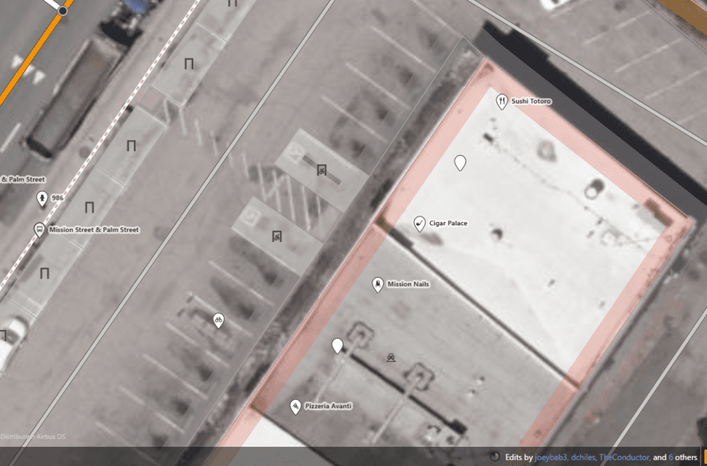
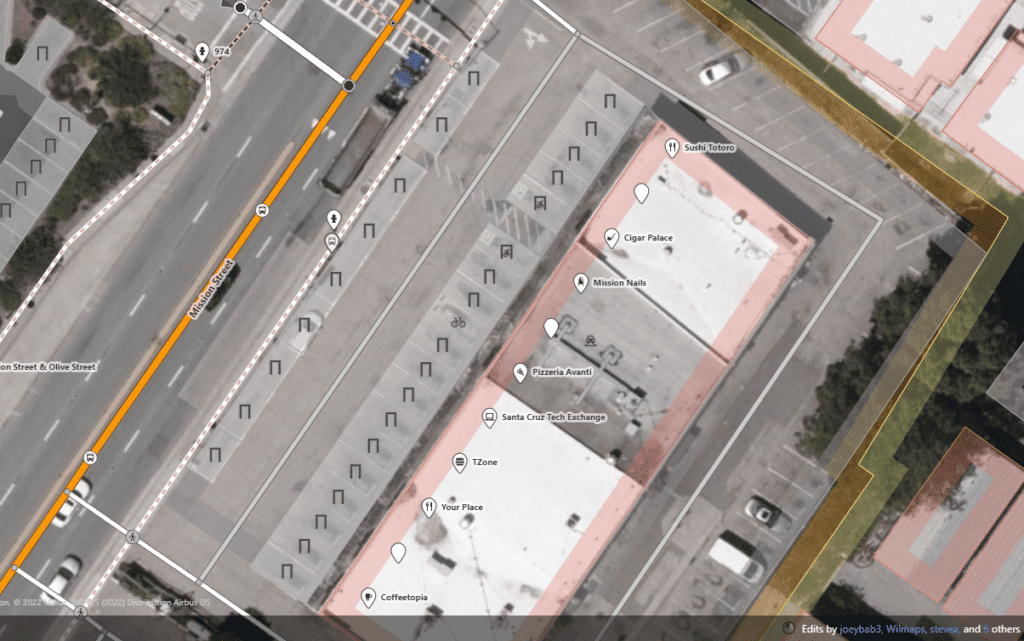
Parking spaces micromapped within a parking lot shared by several businesses in Santa Cruz, California.
This tagging practice can be especially useful for accessibility purposes, as individual spaces can be tagged as accessible or not.
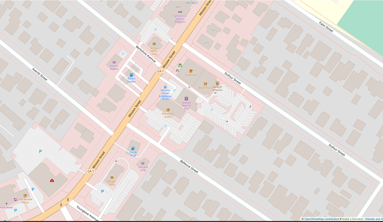
I first saw this tagging practice in use from a Redditor who micromapped a mall and mapped the Blaze Pizza/Starbucks parking lot as my first test.
My tagging practice usually follows the same procedure:
I start with the accessible spaces as they sometimes have non-standard shapes.
1. Tag accessible parking spaces
I use the following tags for accessible spaces
amenity=parking_space
parking_space=disabled
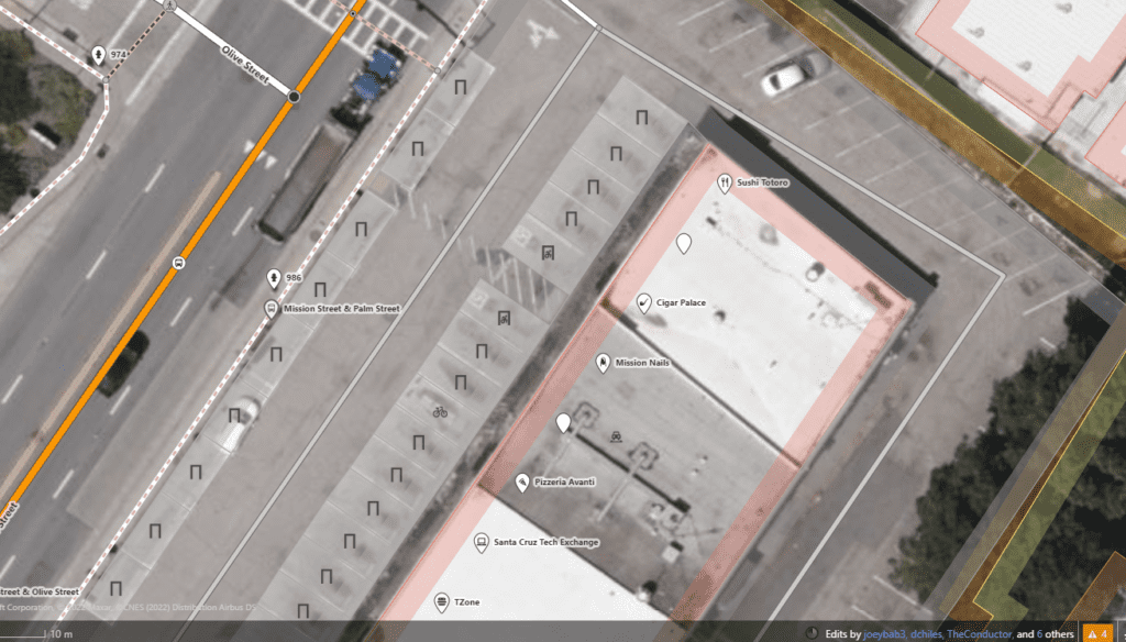
After the accessible spaces, I fill in all the other spaces.
2. Tag the other spaces
For all other spaces, I just use
amenity=parking_space
3. Draw a line around straight edges
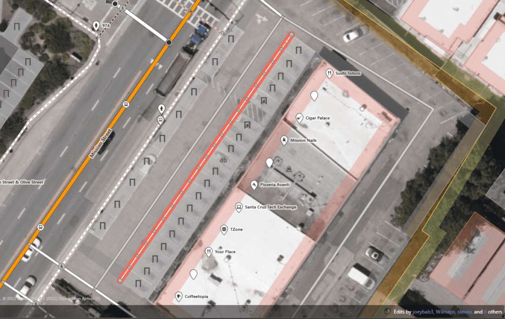
Make sure to click each point and span any space where the straight line should continue.
4. Straighten edges and delete the line
This should leave behind a straight square edge.
5. Once the lot is done, add the space details to the main polygon.
Use ctrl+shift+r or cmd+shift+r to force refresh the tiles 1-2 minutes after publishing and you should see your new parking lot on OSM!
- Filed to:
- OpenStreetMap,
- Tutorial
Comments