Displaying OpenAerialMap Tiles Using Leaflet.js
April 29th, 2020
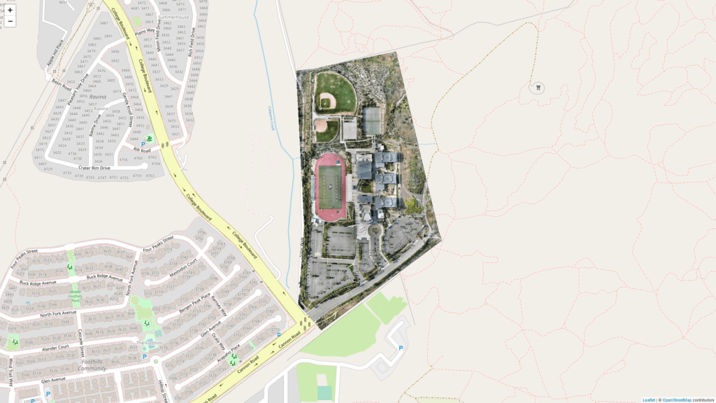
A second tile layer featuring OAM tiles over OSM tiles.
map = L.map('map', {
    center: [33.1581,-117.2857],
    minZoom: 4,
    maxZoom: 20,
    zoom: 16,
    fullscreenControl: true,
    layers:[
        L.tileLayer('https://{s}.tile.openstreetmap.org/{z}/{x}/{y}.png', {maxZoom: 19,attribution: '© OpenStreetMap contributors'}),
        L.tileLayer("{Layer 2 url}")
    ]
});
That’s it! One simple extra line in your map instance is all that’s needed.
- Filed to:
- Code,
- Javascript,
- Leaflet,
- OpenAerialMap,
- OpenStreetMap
Comments