OpenStreetMap
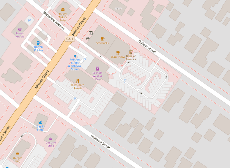
Micromapping Parking Lots in OpenStreetMap
January 26th, 2022
OpenStreetMap(OSM) has a wide set of tagging practices, and one I recently stumbled across was for micro-mapping parking spaces. This [More…]
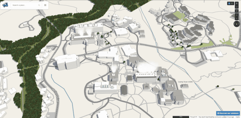
3D Mapping UC Santa Cruz with OpenStreetMap
May 27th, 2021
Lately, I’ve been adding 3d details onto buildings in OpenStreetMap for UCSC. Take a look if you’d like to see [More…]
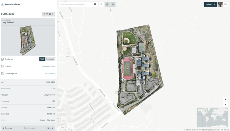
Sage Creek High School April 2020 Aerial Map
April 29th, 2020
This map features the campus of Sage Creek High School in Carlsbad, California at 2cm/px resolution. Created on 4-27-2020. Hosted [More…]
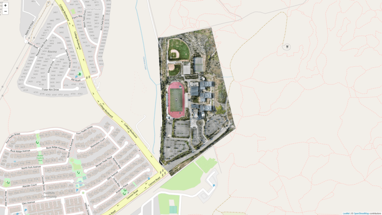
Displaying OpenAerialMap Tiles Using Leaflet.js
April 29th, 2020
Leaflet.js is a very powerful javascript library for creating browser-based maps and mapping related experiments. Recently as I was getting [More…]
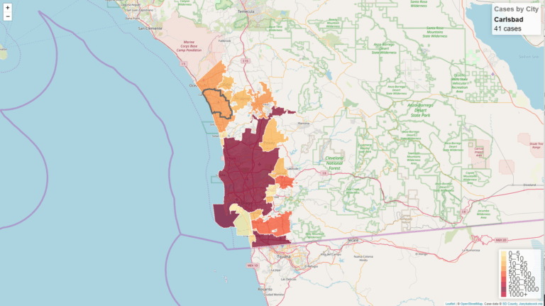
San Diego County COVID-19 Cases by City Interactive Map
April 6th, 2020
Using data from an earlier project, I created a map with Leaflet.js and OpenStreetMap. Just like before, the data is [More…]
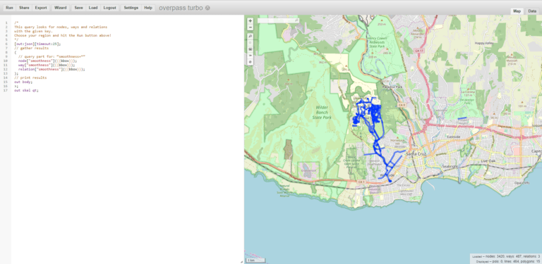
Displaying OpenStreetMap tags via Leaflet.js
November 7th, 2019
Earlier this week, I was riding my electric scooter down the rough entry road to UCSC and thought “I wonder [More…]
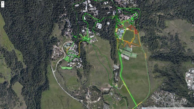
UCSC Smoothness Map
November 4th, 2019
While using my electric scooter around campus, I have begun to acquire a pretty decent knowledge of the road conditions [More…]