GeoJSON

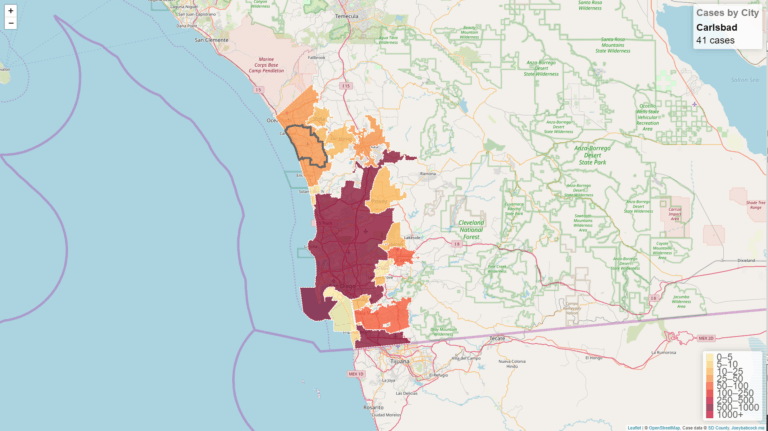
San Diego County COVID-19 Cases by City Interactive Map
April 6th, 2020
Using data from an earlier project, I created a map with Leaflet.js and OpenStreetMap. Just like before, the data is [More…]

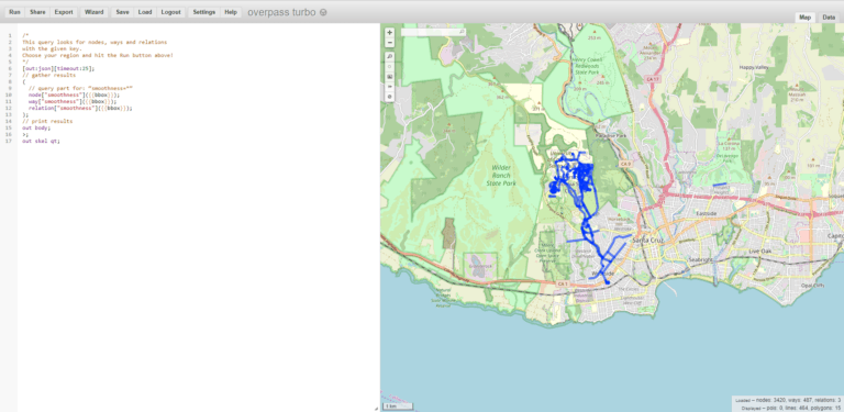
Displaying OpenStreetMap tags via Leaflet.js
November 7th, 2019
Earlier this week, I was riding my electric scooter down the rough entry road to UCSC and thought “I wonder [More…]

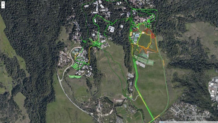
UCSC Smoothness Map
November 4th, 2019
While using my electric scooter around campus, I have begun to acquire a pretty decent knowledge of the road conditions [More…]